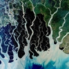
High-resolution earth imagery has provided ecologists and conservationists with a dynamic new tool that is enabling everything from more accurate counting of wildlife populations to rapid detection of deforestation, illegal mining, and other changes in the landscape.
Eyes on nature: How satellite imagery is transforming conservation science
- Share:
